|
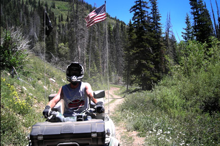
Trail 3 North Arapeen ATV Trail System
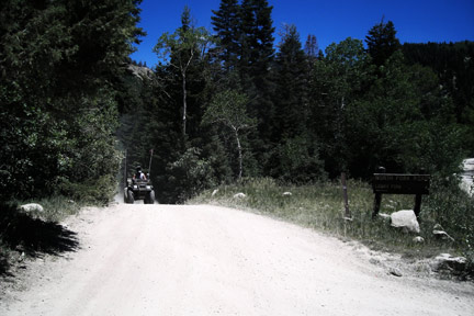 Arapeen ATV Trail System Trail
3 North begins up Manti Canyon. Take the North Fork Road,
don't take any trailers up this road. There is a turn off to
the left . From here the trail get steep and the trail is
ruff. The trail pretty much just climbs up to Loggers Fork
Reservoir. On July 3 when we was here the flowers are out in
force. The trail is mostly through pine and aspen. This
is a fun trail but steep in places. Arapeen ATV Trail 3 north
is rated more difficult. This trail is mostly clay and if wet
will be very slippery. Arapeen ATV Trail System Trail
3 North begins up Manti Canyon. Take the North Fork Road,
don't take any trailers up this road. There is a turn off to
the left . From here the trail get steep and the trail is
ruff. The trail pretty much just climbs up to Loggers Fork
Reservoir. On July 3 when we was here the flowers are out in
force. The trail is mostly through pine and aspen. This
is a fun trail but steep in places. Arapeen ATV Trail 3 north
is rated more difficult. This trail is mostly clay and if wet
will be very slippery.
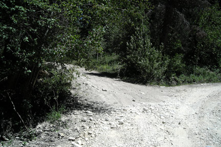 
Here is the turn off up North Fork Trail and the trail at trail 37 intersection
 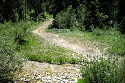
Here is the intersection of North 3 at 33. The first is
towards Skyline Drive on 3 and the second is trail 33.
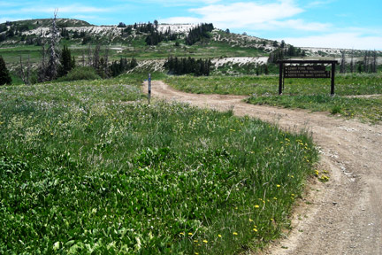
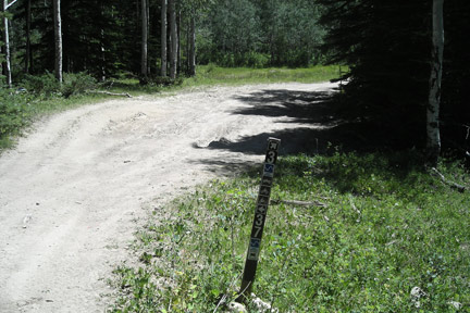
here is the intersection of Skyline Drive and trail 3.
Trail Length is 7 miles
GPS Coordinates
start N39°15.514 W111°31.820 Altitude
7736 North Fork
Intersection 37 N39°15.563 W111°30.759 Altitude
8196
Intersection with North 33 N39°15.958 W111°29.274 Altitude
8934
end N39°14.795 W111°27.583
Altitude 10,180
|