|
Trail 3 South Arapeen ATV Trail System
 Arapeen ATV Trail System Trail 3 South is south of Manti
Canyon. Arapeen ATV
Trail 3 North is North of Manti Canyon. Don't know why there is 2
Trail 3's. Trail 3 South is one of my favorites. It is
rated more Difficult but I would rate it as most difficult.
There is 2 starting locations for the trail. One is on Highway 89
300 yards south of Manti and the other is 2.5 miles up Manti Canyon. The trail
from Highway 89 is very steep with lose dirt and you will want a 4x4 ATV. Arapeen ATV Trail System Trail 3 South is south of Manti
Canyon. Arapeen ATV
Trail 3 North is North of Manti Canyon. Don't know why there is 2
Trail 3's. Trail 3 South is one of my favorites. It is
rated more Difficult but I would rate it as most difficult.
There is 2 starting locations for the trail. One is on Highway 89
300 yards south of Manti and the other is 2.5 miles up Manti Canyon. The trail
from Highway 89 is very steep with lose dirt and you will want a 4x4 ATV.
 From
Manti Canyon the trail is steep but not as steep. There are some very nice vista's and overlooks of
Twelve Mile Canyon. The trail takes you all the way to
Skyline Drive. The lower part of the trail is sage brush and
pinion pines, where the upper section is pine trees and aspen.
Many of the signs say Patton Trail. From
Manti Canyon the trail is steep but not as steep. There are some very nice vista's and overlooks of
Twelve Mile Canyon. The trail takes you all the way to
Skyline Drive. The lower part of the trail is sage brush and
pinion pines, where the upper section is pine trees and aspen.
Many of the signs say Patton Trail.
Trail Length: Manti Canyon to Trail 31 2 miles. From Trail 31
to merge 3.1 miles. From 89 to merge is 3.1. From merge
to Skyline Drive is 6.17 miles.
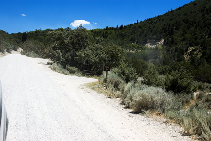
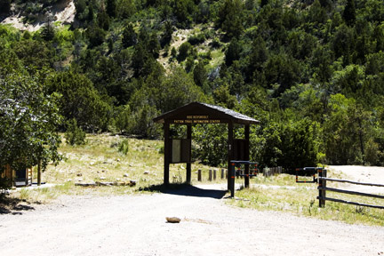
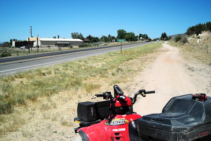
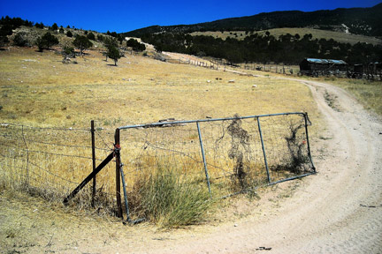
Pictures are from top to bottom left to right. First picture is
the turn
off from Manti Canyon to Trail 3 South. Next is the start of
Trail 3 South in Manti Canyon. There is a parking area and
bathroom.
The next 2 pictures is start of Trail 3 South from highway 89 just
south of Manti. There is parking inside the fence.
These next two pictures are at the intersection to Arapeen ATV Trail
3 and 31. The first is heading to Trail 3 intersection from
Highway 89. The second is going down Trail 3 South from 31 intersection to
Manti Canyon start of Trail 3 South.
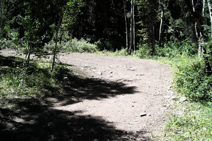 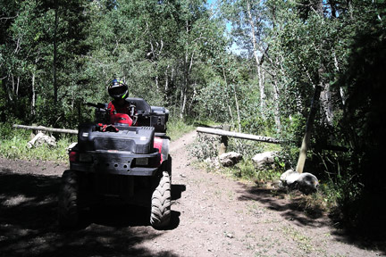
These pictures are the first the intersection of the Trail 3's from
Arapeen Trail 31 and Highway 89. The trail is going down to
Highway 89. The next picture is where you go down Trail 3
South at Skyline Drive.
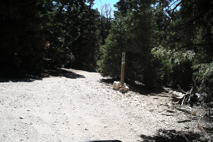 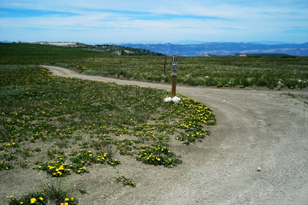
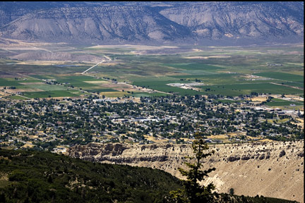
This last picture is the town of Manti from trail 3
GPS Coordinates
Manti Canyon N39°15.660 W111°34.888 Altitude
6529
Highway 89 N39°15.152 W111°38.434
Altitude 5663
Trail 3 and Trail 31 N39°14.651 W111°33.591
Altitude 8015
Manti Canyon and I89 intersection
N39°13.990 W111°35.870
Altitude 8301
end Skyline Drive N39°12.635 W111°29.074
Altitude 10,571
|